


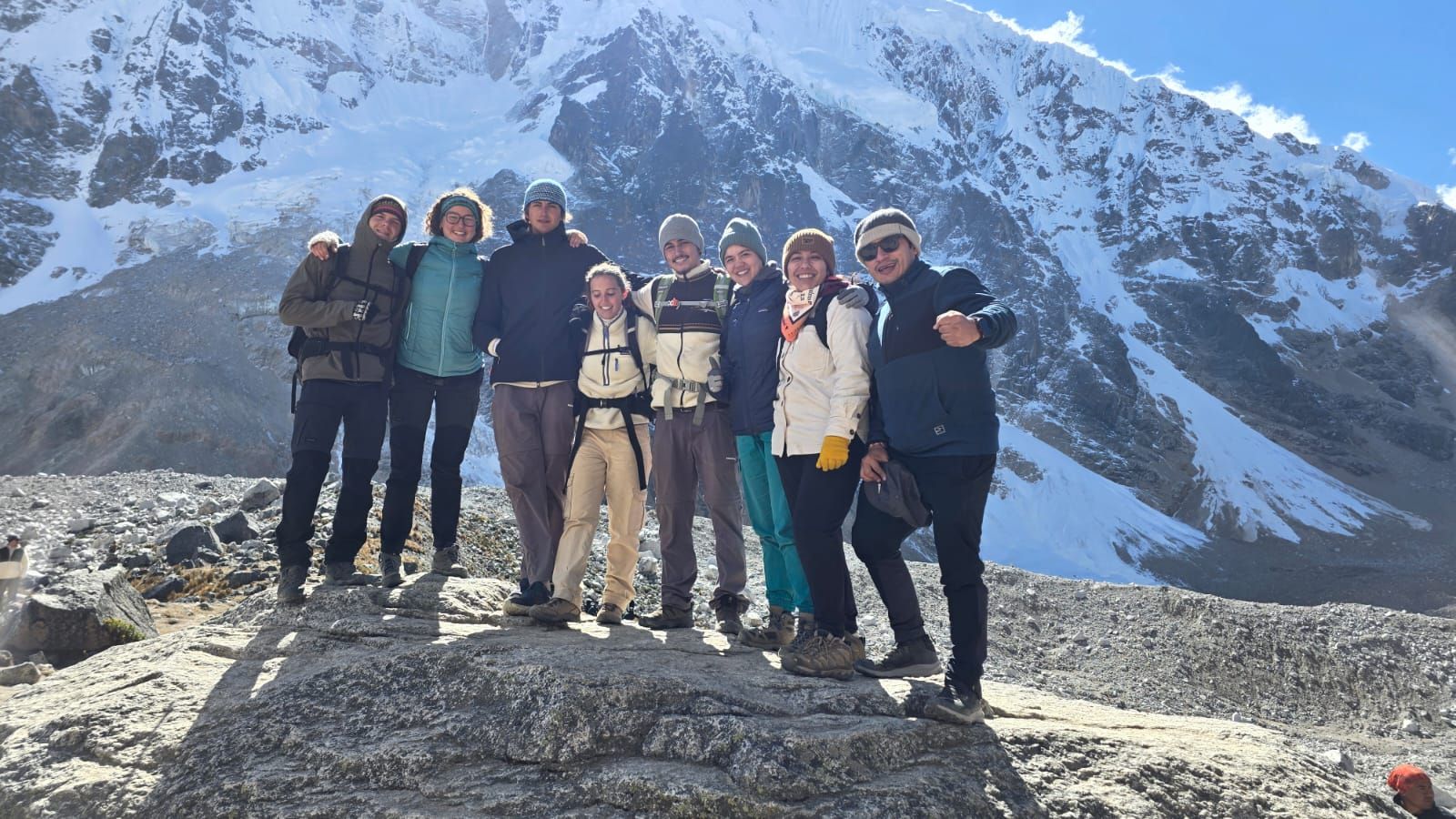
The Salkantay Trek is located in the Cusco region, in the Peruvian Andes, and is a hiking route that connects high-mountain areas with Machu Picchu. The usual itinerary begins with a transfer from Cusco to Mollepata and Challacancha, continues through Soraypampa, the Salkantay Pass, Challway, Playa Sahuayaco, Llactapata and Hidroeléctrica, and ends in Aguas Calientes and Machu Picchu.
This route runs northwest of Cusco and crosses very different landscapes in just a few days: mountains near the snow-capped Salkantay peak, high-altitude lakes, humid valleys and cloud forest areas. Although the route may change depending on the tour booked, these are the key points for understanding how hikers reach the citadel.
Where Is the Salkantay Trek Located?
The Salkantay Trek is located in the Cusco region, within the Vilcabamba mountain range. It takes its name from the snow-capped Salkantay peak, one of the highest and most visible mountains in this area of southern Peru.
The route does not take place within Machu Picchu itself; instead, it follows mountain trails, communities and valleys located west and northwest of the city of Cusco. Its journey gradually connects these areas with Aguas Calientes, the town next to Machu Picchu.
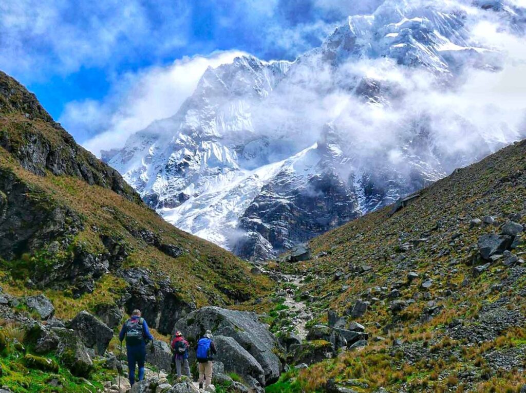
Location of the Salkantay Trek in the Cusco Region
The Salkantay Trek route is located northwest of the city of Cusco. From the regional capital, travelers journey by road to Mollepata and then to Challacancha, one of the usual starting points for the hike.
From there, the trail passes through Soraypampa, near the highest mountains, and continues toward the cloud forest. The journey ends near Machu Picchu, after reaching Aguas Calientes via the Hidroeléctrica area or by train, depending on the itinerary.
Where the Route Begins and Ends
Travelers usually leave Cusco by private or shared transport to Mollepata. After passing through this town, the vehicle continues to Challacancha, where the hike to Soraypampa normally begins.
The trekking route usually ends in Aguas Calientes. From this town, travelers make their final approach to Machu Picchu, either by bus or on foot along the authorized route to the citadel entrance.
How Do You Get to the Start of the Salkantay Trek from Cusco?
To reach the start of the Salkantay Trek from Cusco, travelers first take a land transfer to Mollepata and then to Challacancha. The journey is usually arranged early in the morning to begin hiking that same day.
Exact pickup points, stops and the trailhead may vary slightly depending on the itinerary and tour operator. Therefore, it is advisable to confirm in advance whether the program includes transportation from your accommodation in Cusco.
Transfer from Cusco to Mollepata
The route begins with a road journey from Cusco to Mollepata, a town in the province of Anta. This transfer takes travelers out of the city and closer to the rural areas where the Salkantay route begins.
Mollepata serves as one of the main access points because it lies on the road leading to Challacancha and Soraypampa. Some groups make a brief stop in this town before continuing to the start of the hike.
Transfer from Mollepata to Challacancha
From Mollepata, the transfer continues along a mountain road to Challacancha. This area is closer to Soraypampa and is usually where travelers leave their transportation and begin walking.
The exact distance and starting point may vary between operators, especially when adjustments are needed due to road conditions or group logistics. On the usual route, Challacancha marks the beginning of the hike to Soraypampa.
What Is the Salkantay Trek Route to Machu Picchu Like?
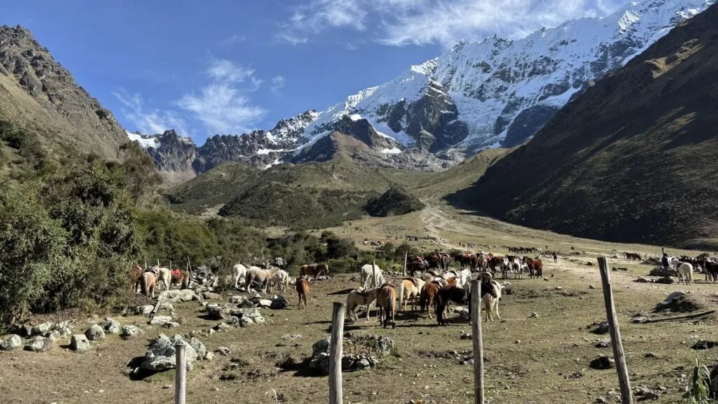
The Salkantay Trek route to Machu Picchu progresses geographically from the high-altitude areas near Soraypampa to the warm valleys of the Santa Teresa and Hidroeléctrica area. Along the way, the landscape changes from mountains and high-altitude lakes to denser, more humid vegetation.
The classic route combines mountain trails, descents into the cloud forest, rural roads and a final section alongside the railway. This transition explains why the Salkantay Trek is a different alternative route to Machu Picchu from others in the region.
First Trekking Route: Challacancha, Soraypampa and Humantay Lake
The hike usually begins in Challacancha and continues to Soraypampa, a mountain area used as a rest point during the first day. The trail brings hikers closer to the area at the foot of the mountains surrounding this section of the route.
From Soraypampa, many routes include an additional ascent to Humantay Lake. After the visit, travelers return to Soraypampa, where they spend the night at Domos Eco Lodge Magestic, a mountain accommodation that offers rest and warmth before continuing the route. The following morning, after recovering their energy, travelers leave early to continue the main trek.
Second Trekking Route: Soraypampa, Salkantay Pass and Challway
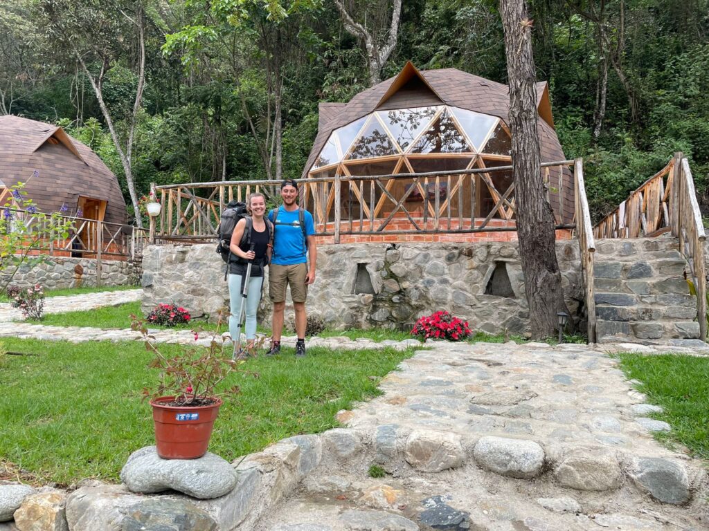
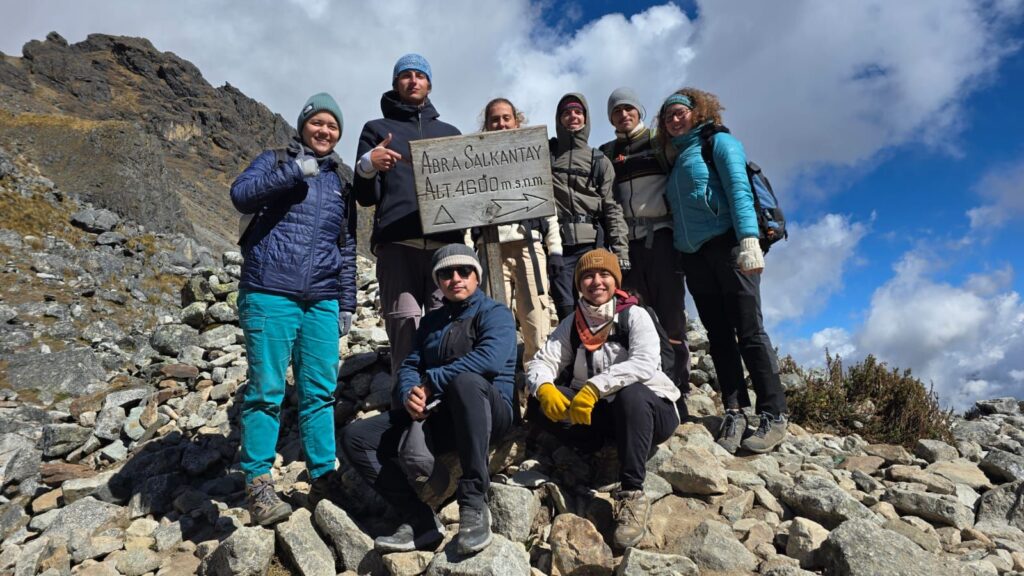
The second stage climbs from Soraypampa to Salkantay Pass, the highest point on the route. This section crosses areas near the snow-capped peak that gives the trek its name before beginning the descent.
After the pass, the trail descends through Huayracmachay toward Challway. As elevation drops, the vegetation begins to change and more humid valleys appear, signaling the transition to warmer areas.
Third Trekking Route: Challway, Colpapampa and Playa Sahuayaco
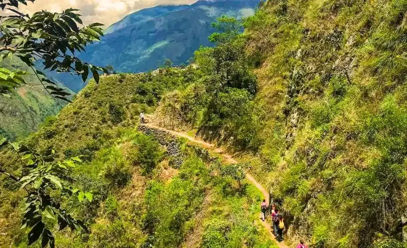
From Challway, the route continues descending along paths that connect small rural areas and lush vegetation zones. Colpapampa is usually one of the points passed during this part of the journey.
The day continues to Playa Sahuayaco, within a mountain jungle setting. Compared with the first stages, the climate and landscape here tend to feel warmer, with more crops and tropical vegetation.
Fourth Stage: Playa Sahuayaco, Llactapata and Hidroeléctrica
From Playa Sahuayaco, the trail climbs to Llactapata, an archaeological site on a hillside facing the mountainous surroundings of Machu Picchu. When the weather is clear, this area offers distant views of the citadel.
After Llactapata, the route descends into the Aobamba Valley and continues to the Hidroeléctrica area. This point connects the trekking trails with the final stretch leading to Aguas Calientes.
Fifth Trekking Route: Hidroeléctrica, Aguas Calientes and Machu Picchu
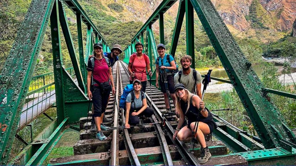
From Hidroeléctrica, many travelers continue on foot along the trail parallel to the railway to Aguas Calientes. It is also possible to take the train for this section when it is included in the booked program and seats are available.
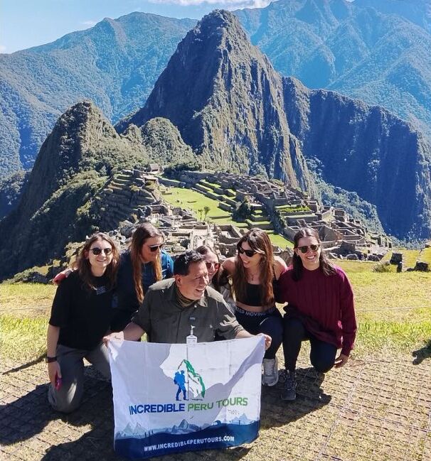
Once in Aguas Calientes, travelers make their final approach to Machu Picchu. The visit to the citadel normally takes place the following day, according to the entry time assigned and the itinerary arrangements.
Key Places on the Salkantay Route to Machu Picchu
Some places help travelers better understand the Salkantay Trek route and the transition between its different landscapes. Not all serve the same purpose along the journey: some are hiking points, while others are elevation references or connections to the final access route to Machu Picchu.
These areas make it easier to follow the route from Soraypampa to Aguas Calientes without confusing the main trail with road transfers or sections that can be traveled by train.
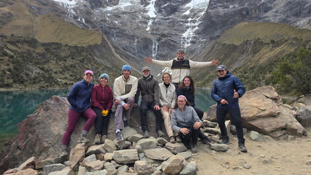
Humantay Lake
Humantay Lake is located near Soraypampa and is usually visited during the first stage of the journey. Reaching it involves an additional hike from that day’s accommodation or campsite.
The visit takes place before crossing Salkantay Pass, making it part of the trek’s high-altitude section. Not every itinerary includes it in the same way, so it is advisable to check this before booking.
Salkantay Pass
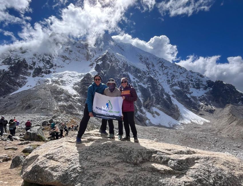
Salkantay Pass is the highest point and one of the central sections of the route. It is located on the stretch connecting Soraypampa with the descent toward Huayracmachay and Challway.
From this area, the transition toward lower valleys and the cloud forest begins. Due to its location, it serves as a clear geographic reference between the first high-mountain half of the trek and the following days of descent.
Llactapata
Llactapata is an archaeological site located before the descent to Hidroeléctrica. It stands on a hillside overlooking part of the valley surrounding the Machu Picchu area.
Its importance along the route is linked to its position as a viewpoint. If clouds and visibility allow, travelers can enjoy distant views of the citadel’s surroundings from there.
Hidroeléctrica and Aguas Calientes
Hidroeléctrica serves as the connection between the Salkantay Trek and the final section to Aguas Calientes. It is a frequent arrival point for those descending from Llactapata and the Aobamba Valley.
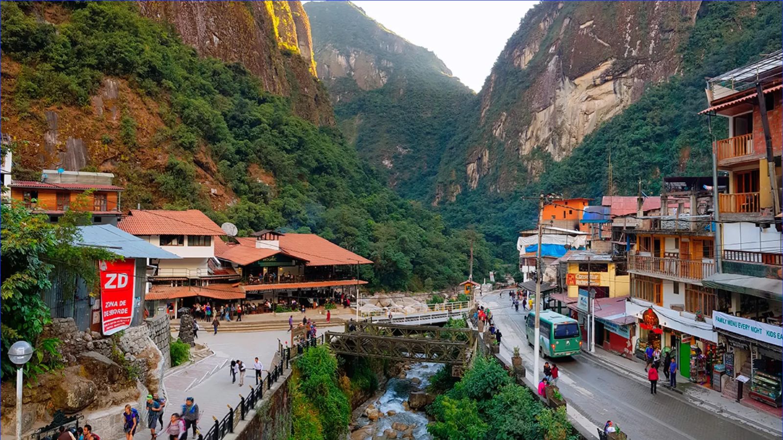
Aguas Calientes is the town from which travelers access Machu Picchu. From Hidroeléctrica, it can be reached by walking alongside the railway or by train, depending on the logistics planned for each program.
Recommended Route: Salkantay Trek to Machu Picchu in 5 Days
The 5-day Salkantay Trek to Machu Picchu is a recommended option for experiencing the main stages of the route without fitting the entire journey into fewer days. It connects Cusco, Mollepata, Challacancha, Soraypampa, Humantay Lake, Salkantay Pass, Challway, Playa Sahuayaco, Llactapata, Hidroeléctrica, Aguas Calientes and Machu Picchu.
This format follows the usual geographic order of the route and allows time at its main stops. The exact distribution of nights, services and transfers depends on the operator and route conditions.
Main Itinerary of the 5-Day Tour
The journey departs from Cusco to Mollepata and Challacancha, continues to Soraypampa and usually includes Humantay Lake. It then crosses Salkantay Pass, descends toward Challway and Playa Sahuayaco, and continues through Llactapata to Hidroeléctrica.
The final section connects Hidroeléctrica with Aguas Calientes and concludes with a visit to Machu Picchu. This sequence allows travelers to observe the change from high mountains to mountain jungle and the valley surrounding the citadel.
View the Map and Complete Itinerary
Before confirming a trip, review the daily itinerary to check where each hike begins, which sections are traveled by transportation and how arrival in Aguas Calientes is organized. It is also useful to verify accommodations, included services and Machu Picchu entry ticket availability.
You can view the 5-Day Salkantay Trek to Machu Picchu to review the map, the complete program and logistical details. If you need to arrange entry tickets, trains or availability, the Salkantay.tours team can help you organize these services before your trip.
Frequently Asked Questions About the Location and Route of the Salkantay Trek
These answers clarify the most common questions about where the Salkantay Trek is located, where it begins and how it connects with Machu Picchu. Details may vary depending on the itinerary booked.
Where Does the Salkantay Trek Begin?
The journey normally departs from Cusco by land transportation. The hike usually begins in Challacancha, after passing through Mollepata. The exact starting point may vary depending on the itinerary, road conditions and the operator’s arrangements.
Does the Salkantay Trek Pass Through Humantay Lake?
Many classic routes include a visit to Humantay Lake from Soraypampa during the first stage. It is an additional hike to the main route toward Salkantay Pass. It is advisable to check whether it is specifically included in the itinerary you book.
Does the Salkantay Trek Go Directly to Machu Picchu?
The hike usually reaches Hidroeléctrica first and then Aguas Calientes. From this town, travelers make their final approach to the Machu Picchu citadel. The last section can be arranged on foot, by train or by combining both, depending on the program.
Do You Walk from Hidroeléctrica to Aguas Calientes?
Yes, there is a trail parallel to the railway that connects Hidroeléctrica with Aguas Calientes. It is the final walking section used by many trekking groups. Some programs allow this section to be replaced by a train journey, subject to availability.
Where Does the Salkantay Trek Route End?
The trek normally ends in Aguas Calientes and is completed with a visit to Machu Picchu. After touring the citadel, the return to Cusco is usually made by combining train and land transportation. The exact return route depends on the service booked.